
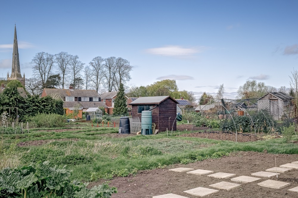


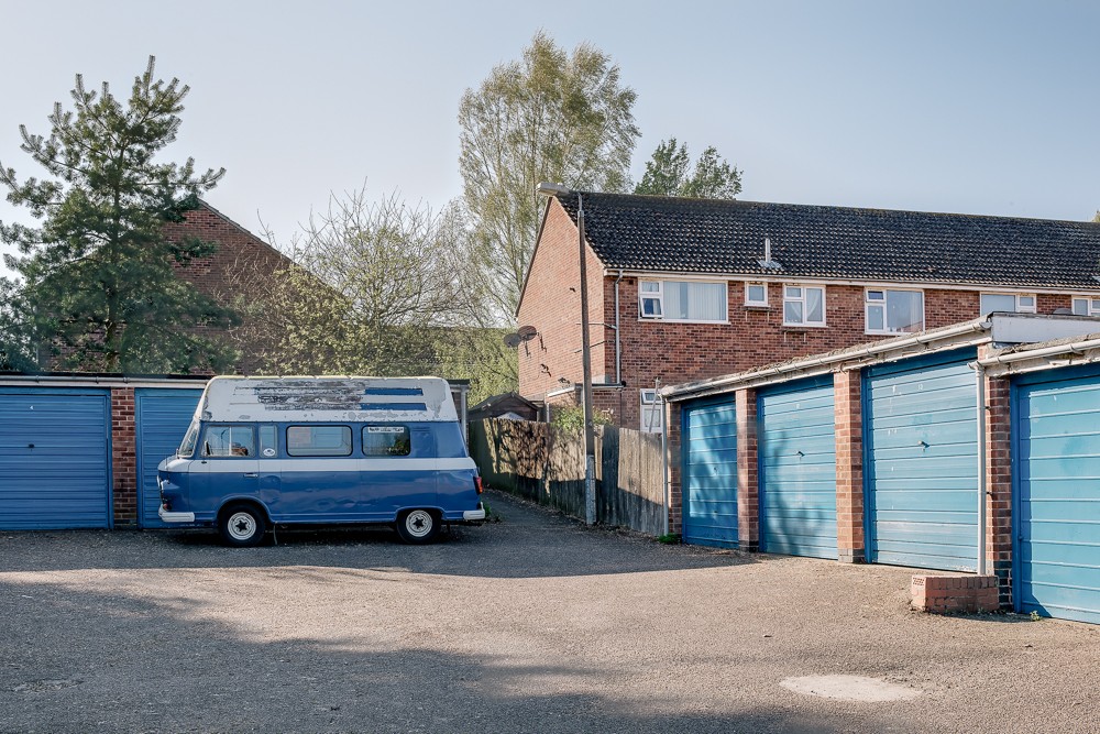
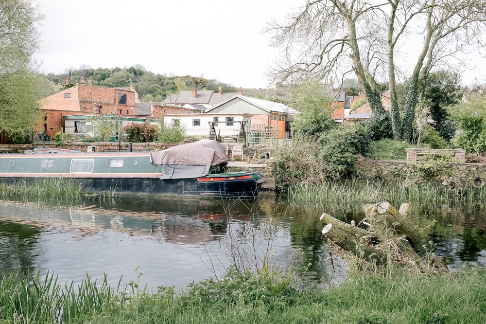
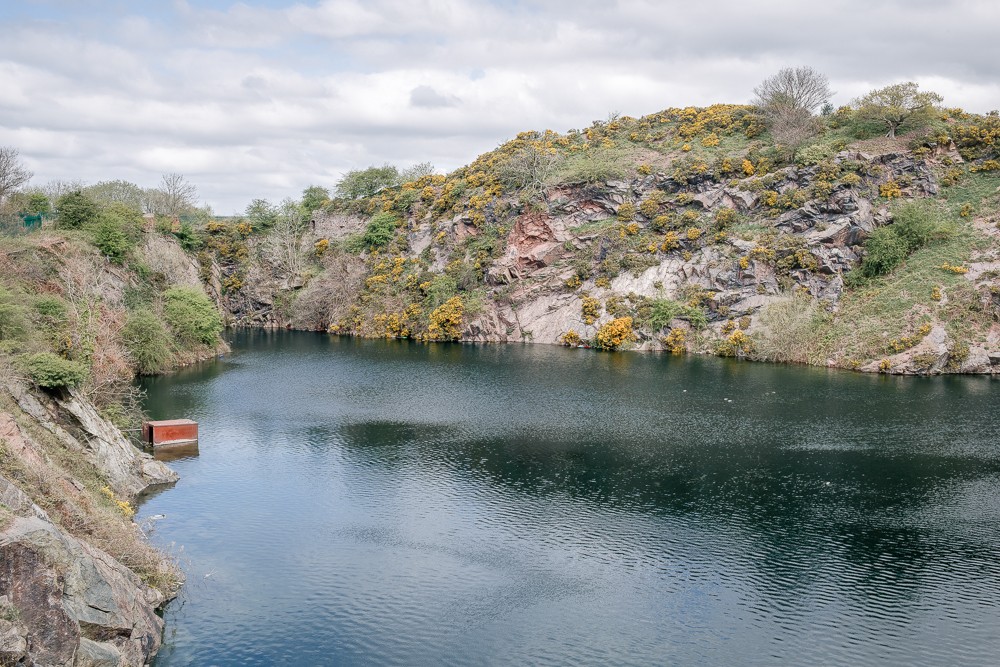


In
2007, Professor Danny Dorling from University of Sheffield made an
attempt to measure and map English national stereotype: the myth of
the North and South differences. Can something so vague can be
presented as a specific geographical feature on a map? A line was
created, spreading from North-East regions of Lincolnshire down to
the South-Western county of Gloucestershire. The line seems to be not
only an artificial border between the two distinctive areas; it also
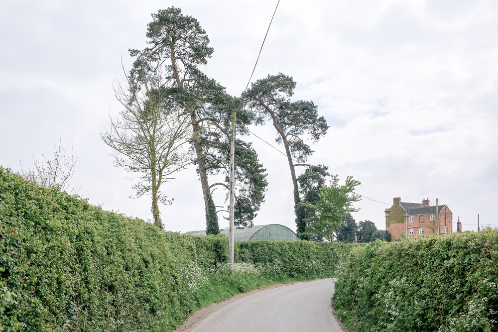
runs diagonally across the whole Midlands and beyond. The project is
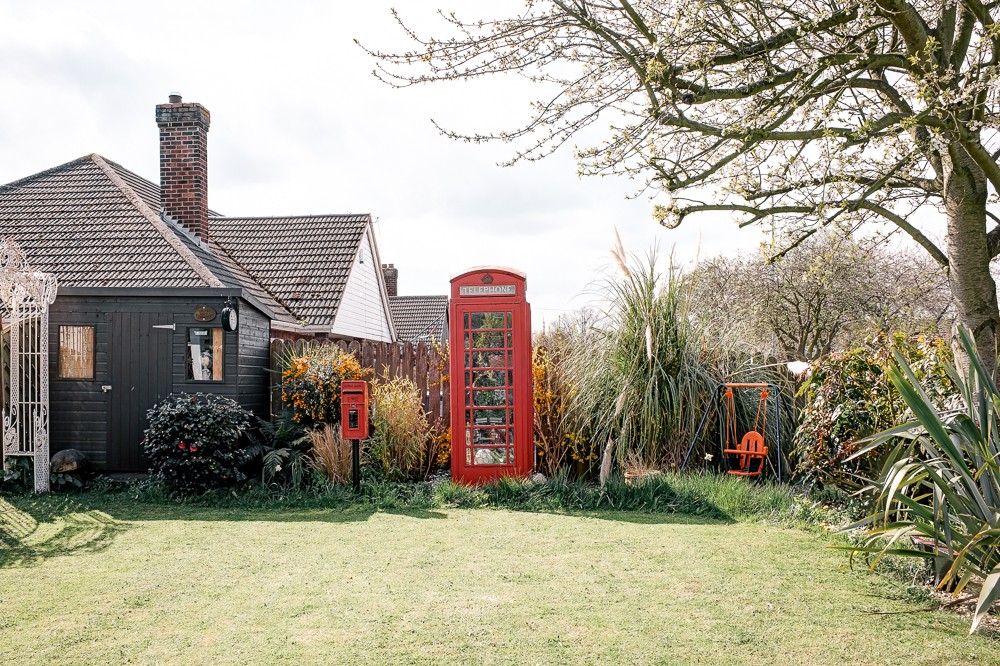
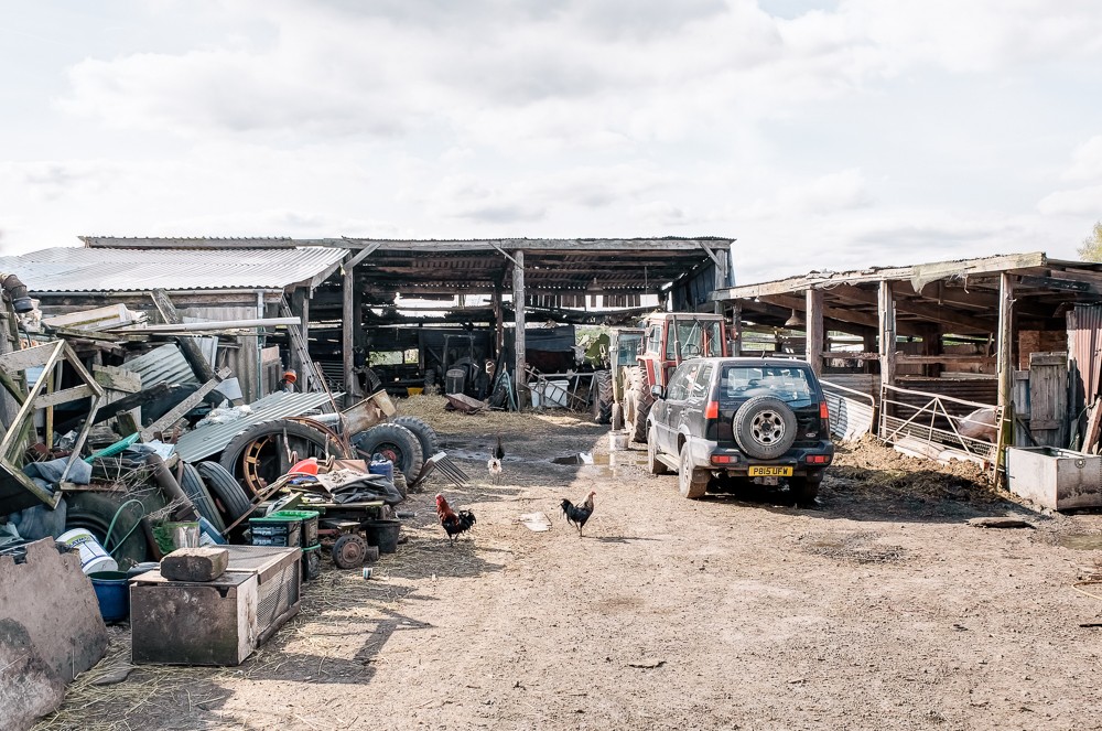
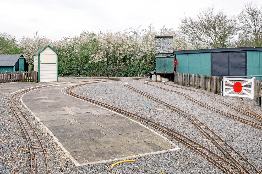
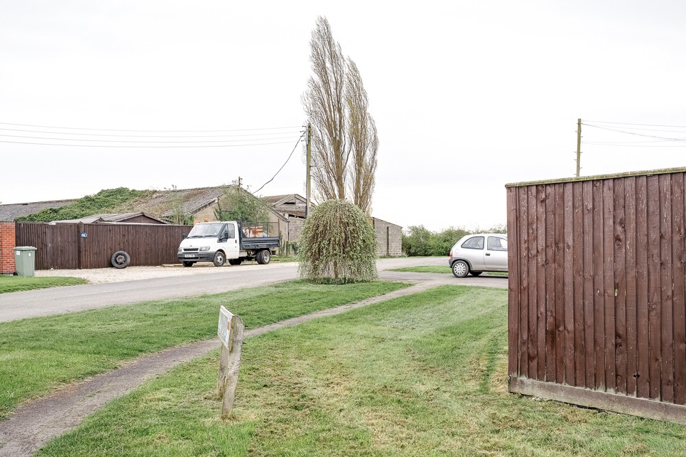
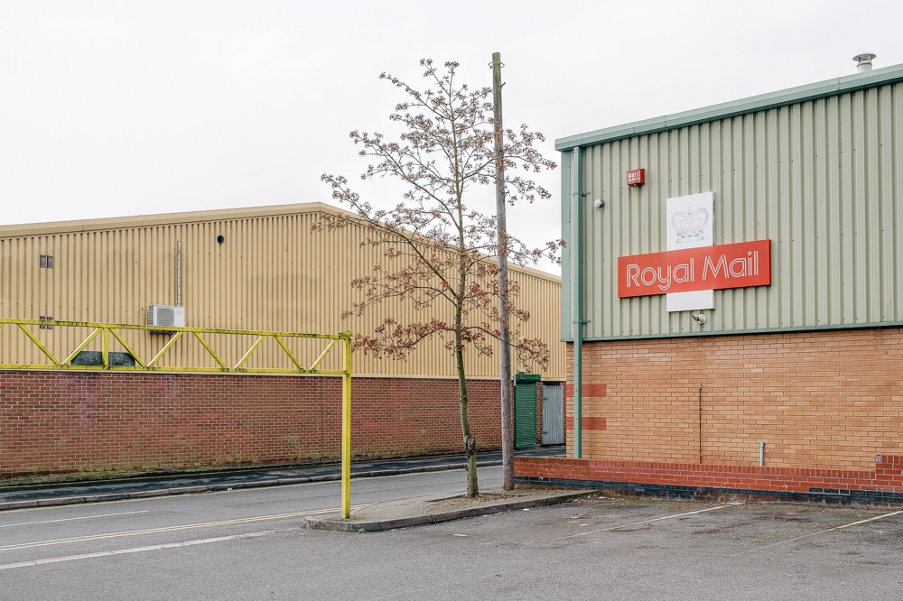
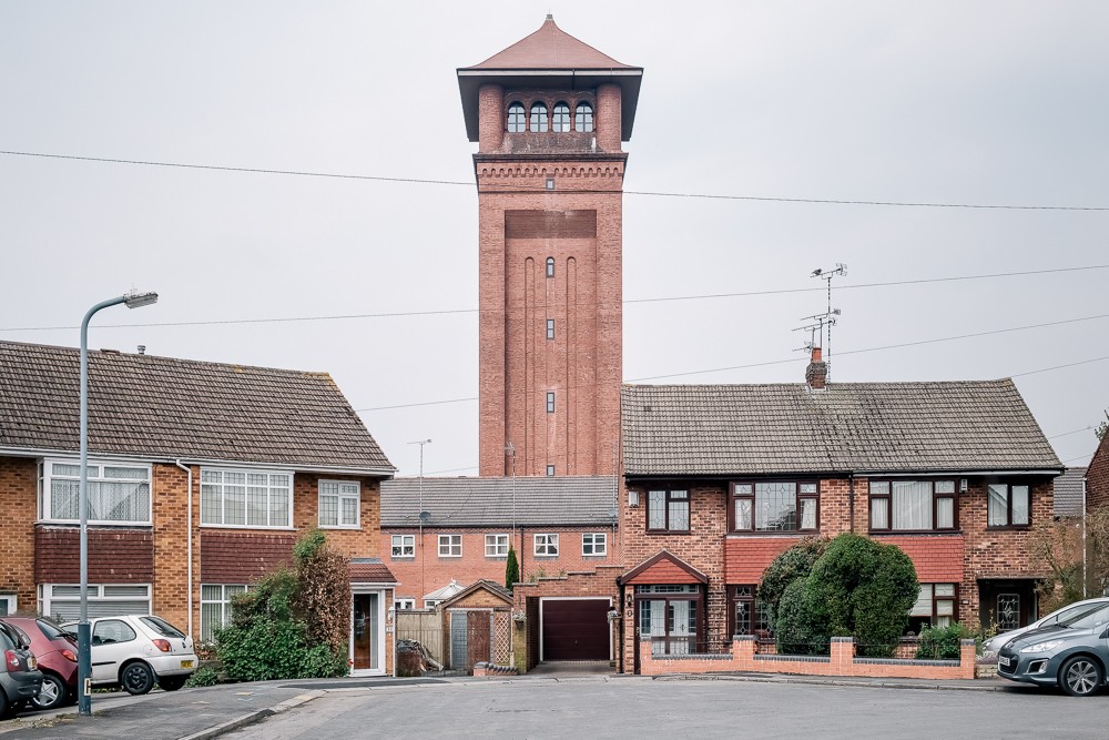
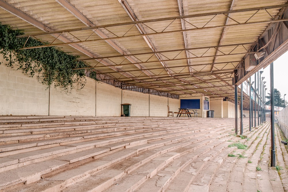
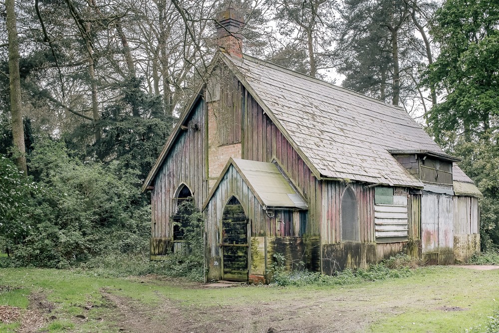
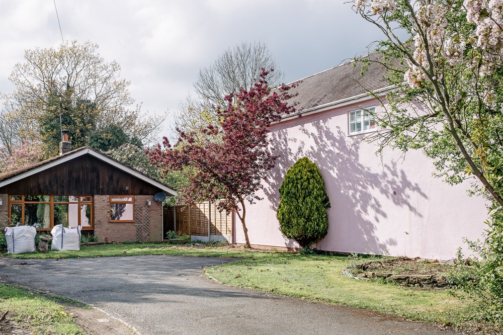
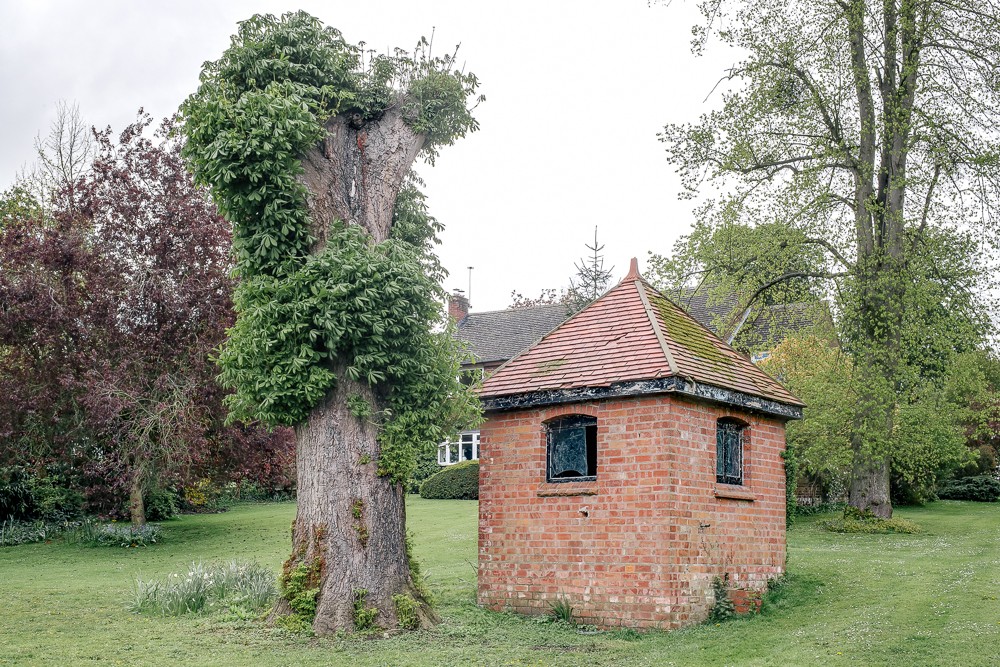
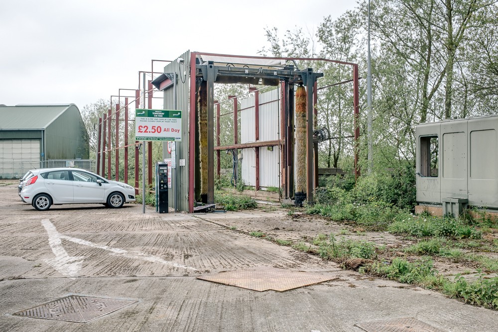
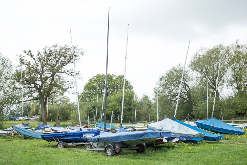
about materializing that line. 25 towns and villages were picked with
the strict rule: the border needs to fall directly on them. By
playing a reversed connect-the-dots game, the journey plan was
established. Each single picture is an attempt to seek identity:
North, South or maybe Mid? The line acted as the guide in search of
the default, generic England, free of the stereotypes and divisions.